What It Means to Be a Trail Town
Brevard and Transylvania County are proud to be recognized as an Outdoor NC Trail Town, a designation that celebrates both the richness of our outdoor experiences and our commitment to protecting the land. With more than half the county preserved as public land, visitors can explore over 350 miles of singletrack, 1,000 miles of hiking trails, and 250 waterfalls across Pisgah National Forest, DuPont State Recreational Forest, Gorges State Park, and beyond. This recognition reflects our dedication to caring for these landscapes and encouraging visitors to travel responsibly and safely. Whether you’re seeking a leisurely stroll or a challenging adventure, the trails featured in the Trail Town Guide offer the perfect starting point to experience and respect the natural beauty that makes Brevard so special.
Discover Trails Featured in the Trail Town Guide
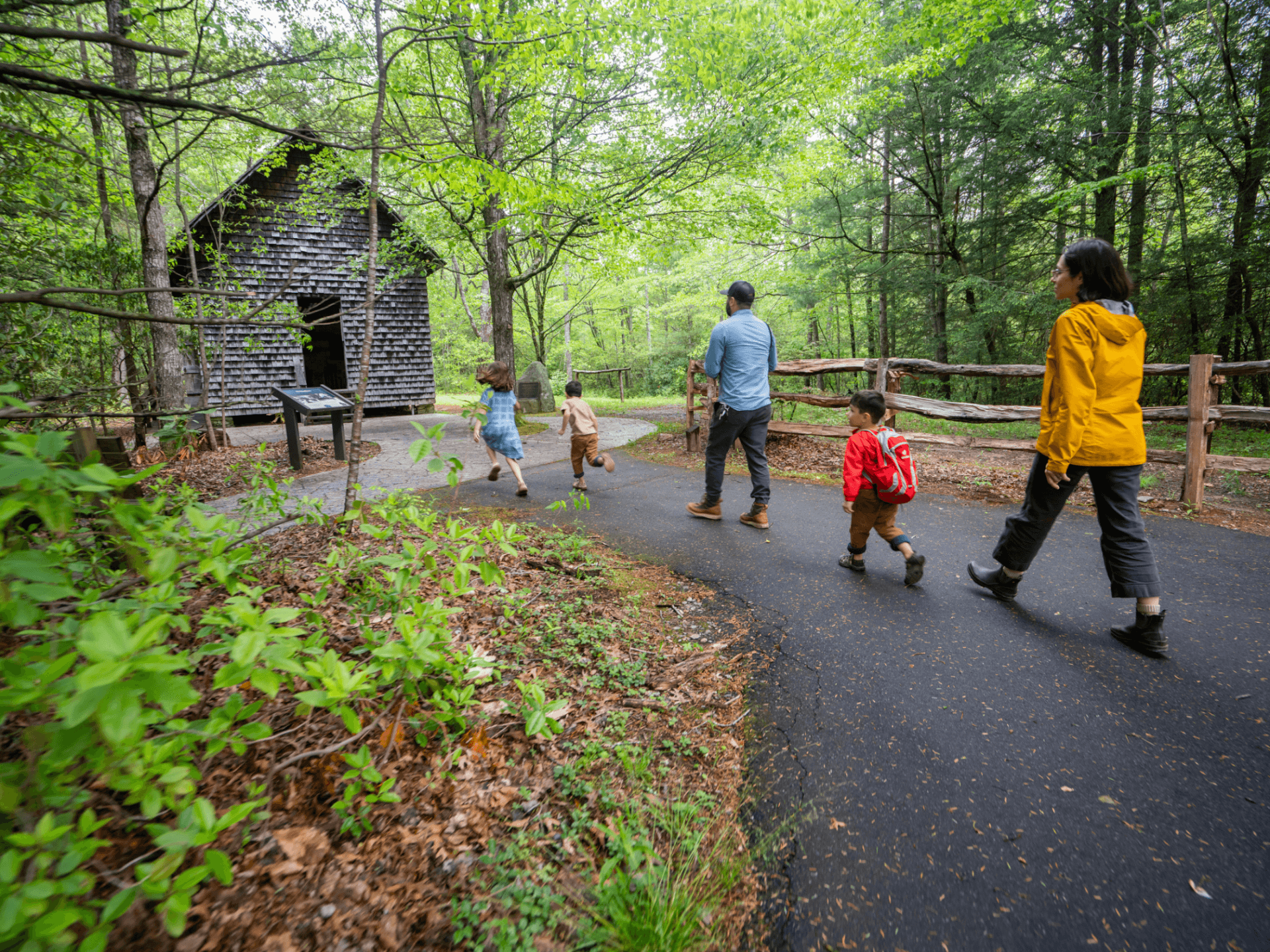
Biltmore Campus Trail at Cradle of Forestry
Distance: 1 mile (paved loop)
Difficulty: Easy
Loved By: History Buffs
Good For: Families, strollers, wheelchairs
Wander through the birthplace of American forestry and forestry education on this paved, easy-access trail system that blends nature with heritage. The Biltmore Campus Trail winds past seven historic buildings and peaceful forest scenery, making it perfect for a relaxed stroll. It’s an ideal option for visitors who want to enjoy the outdoors while learning about the region’s conservation legacy. The Discovery Center at the start (or end) of the trail is a highlight for little explorers who enjoy hands-on learning.

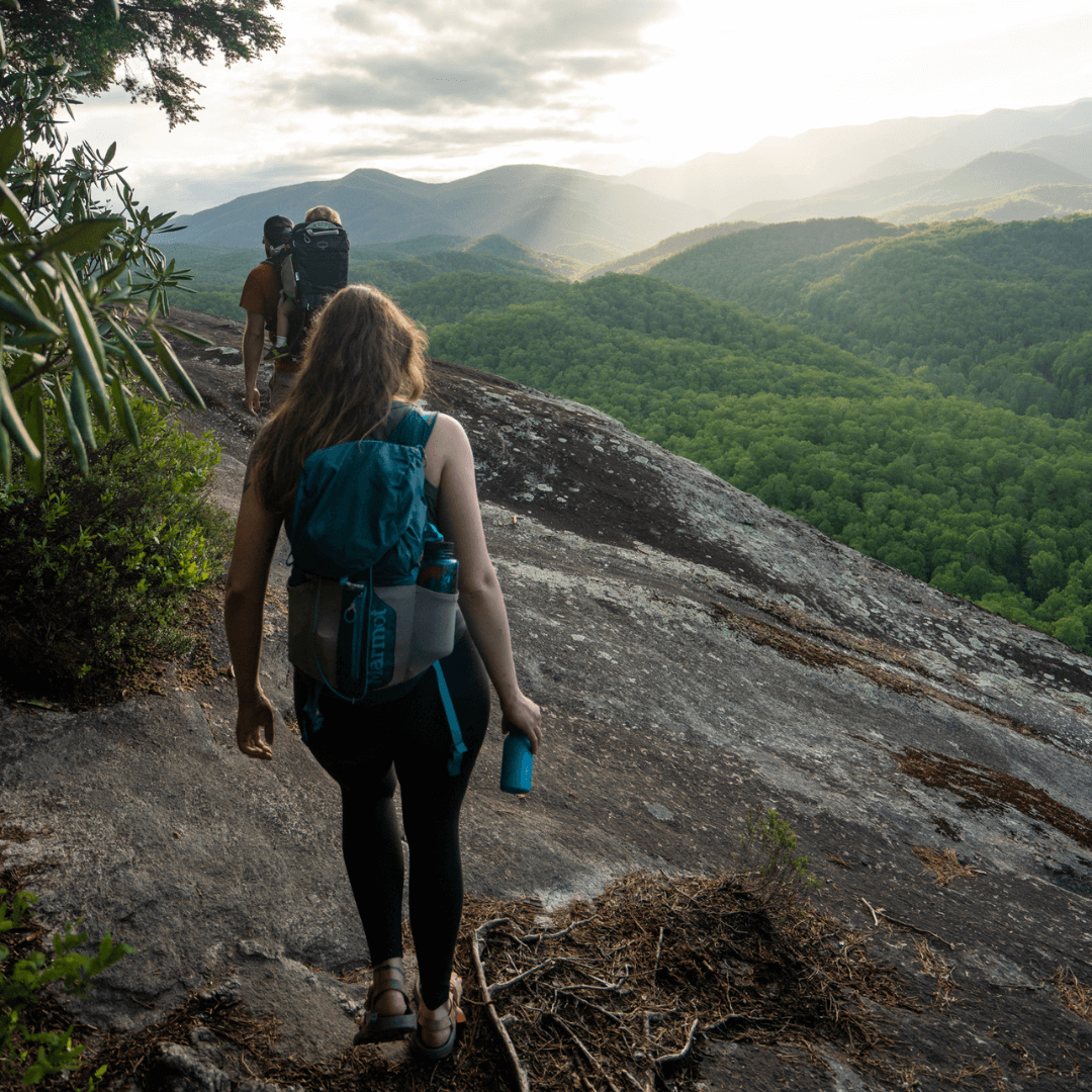
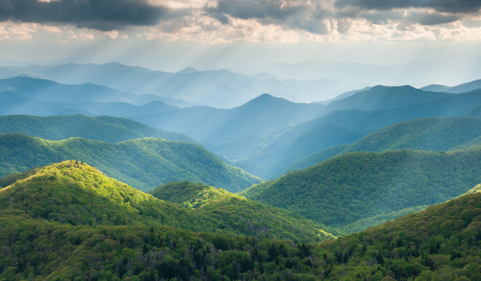
Big Rock & Cedar Rock Trails
Distance: 4.5 miles (loop)
Difficulty: Moderate
Loved By: Sunset Chasers
Good For: Hikers, mountain bikers, equestrians
Located in DuPont State Recreational Forest, these iconic trails climb steadily to exposed rock summits with sweeping views of the Blue Ridge Mountains. Big Rock and Cedar Rock are local favorites for sunrise and sunset hikes, rewarding visitors with expansive vistas after a moderate effort.
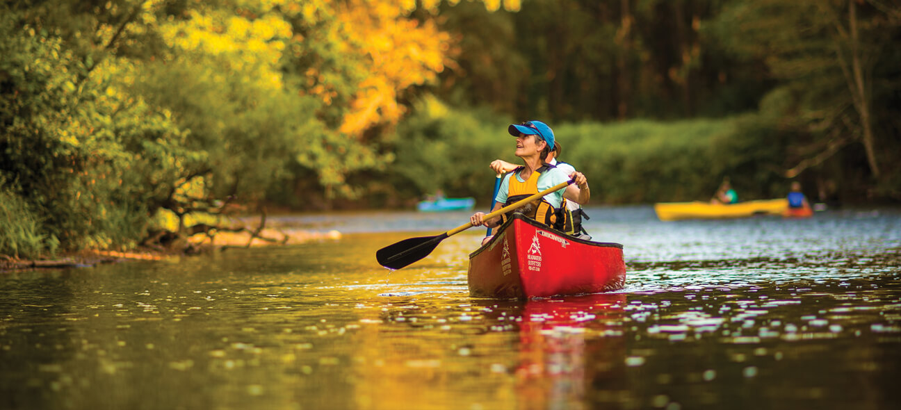
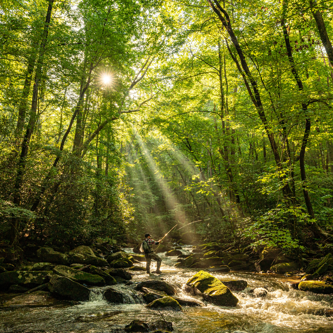
French Broad River Paddle Trail
Distance: 6 miles within Transylvania County (140 total)
Difficulty: Easy to Moderate (depending on water levels)
Loved By: River Explorers
Good For: Families, paddlers, anglers, river snorkelers
Flowing from its headwaters in Rosman, the French Broad River Paddle Trail offers a scenic way to explore the world’s 3rd oldest river. The Transylvania County section features gentle currents, easy access points, and opportunities for paddling, fishing, river snorkeling, and tubing. There are campsites dispersed along the entire trail for those seeking a multi-day adventure.

South Mills River Trail
Distance: 12 miles
Difficulty: Difficult
Loved By: Thrill Seekers
Good For: Hikers, mountain bikers, equestrians
This trail winds through a lush valley in Pisgah National Forest, offering a mix of forested singletrack and creekside views. While the grade is mostly gentle, multiple unbridged river crossings add an adventurous element for hikers, mountain bikers, and equestrians. Along the way, you’ll spot remnants of an old railroad, including trestles at water crossings. Suspension bridges make key sections easier to navigate for hikers, and intersections with other trails allow for creative loop options. The valley keeps the trail cool year-round, which is refreshingly crisp in summer.

Estatoe Trail
Distance: 6.5 miles (one way)
Difficulty: Easy
Loved By: Casual Cruisers
Good For: Families, strollers, wheelchairs, cyclists
More than just a greenway, the Estatoe Trail is Brevard’s outdoor connector. This paved path links Downtown Brevard to Pisgah National Forest and offers easy access to all five of Brevard’s breweries along the way. Whether you’re heading out for a morning jog, a casual bike ride, or a post-hike pint, the Estatoe Trail blends outdoor recreation with local flavor.
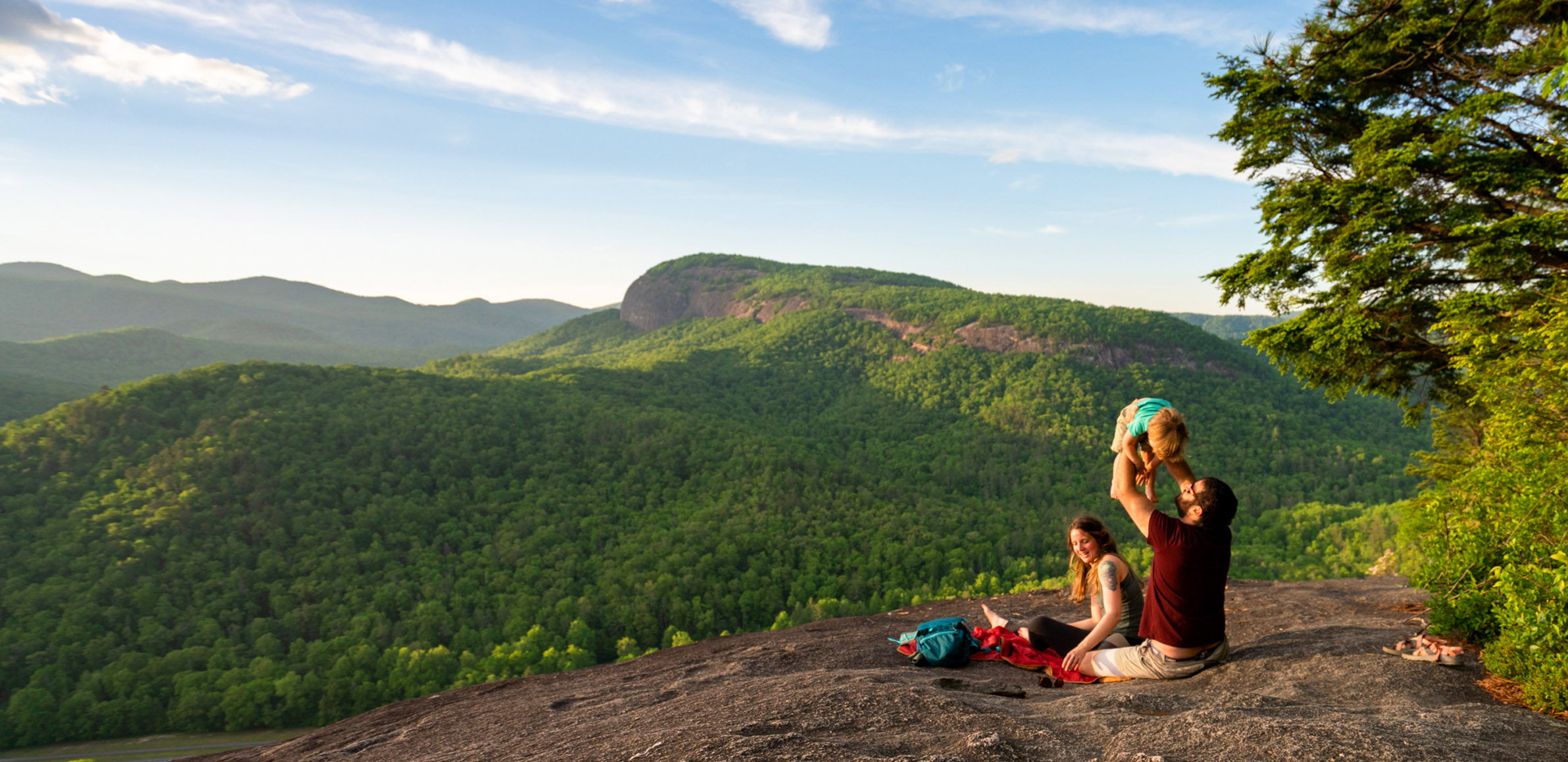
Cat Gap Loop to John Rock Trail
Distance: 5.8 miles (loop)
Difficulty: Difficult
Loved By: Picnic Packers
Good For: Experienced hikers, mountain bikers
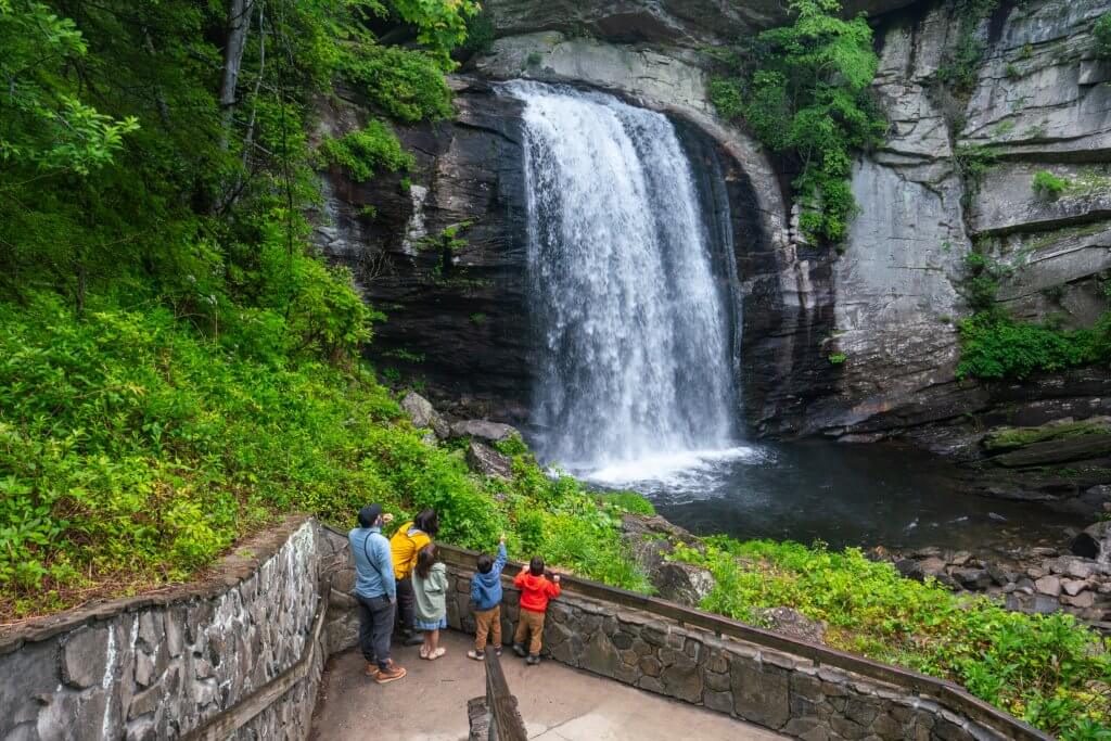
A true Pisgah classic, this loop delivers big views from John Rock with a challenging but rewarding climb. The trail passes through lush forest before opening up to panoramic overlooks of Looking Glass Rock and the surrounding mountains. It’s a must-do for hikers looking for a memorable summit experience in Pisgah National Forest.

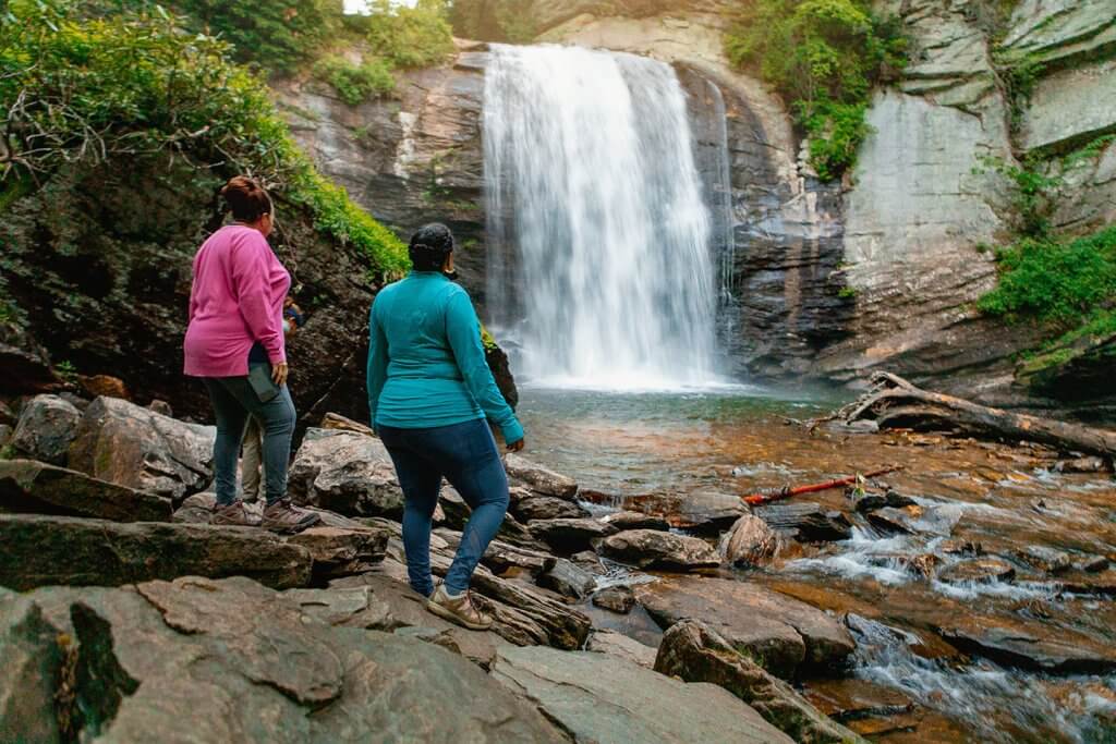
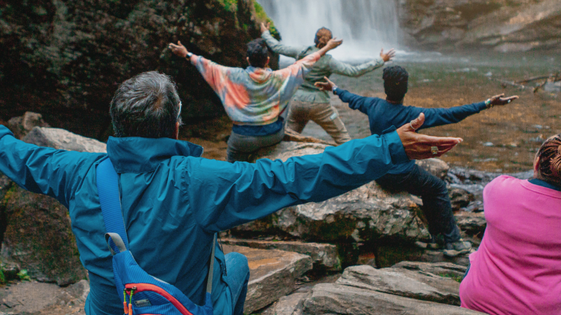
Rainbow Falls & Turtleback Falls
Distance: 3.9 miles (out & back)
Difficulty: Difficult
Loved By: Waterfall Chasers
Good For: Experienced hikers
This out-and-back hike, accessed through Gorges State Park, leads to two well-known waterfalls along the route. Rainbow Falls is named for the rainbows that often appear in its mist on sunny days, making it a favorite stop for photos. Just upstream, Turtleback Falls adds to the reward at the end of the trail, giving hikers a memorable payoff for the effort.


About Outdoor NC
Outdoor NC is your guide to exploring North Carolina’s incredible outdoors. They offer tips for enjoying the outdoors safely, planning adventures, and protecting the natural treasures that make our state so special.