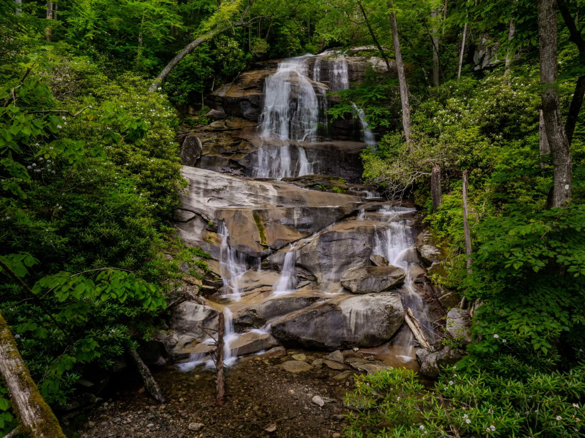
Discover a Waterfall Wonderland in Western North Carolina
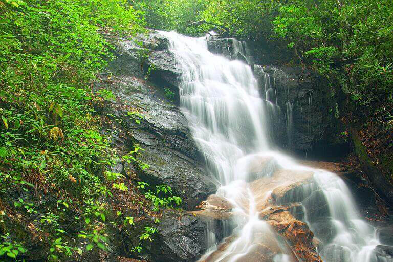
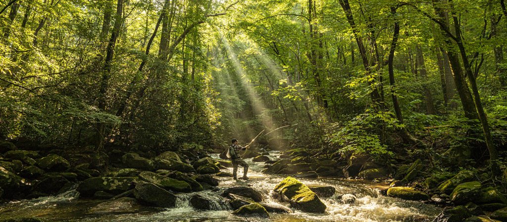
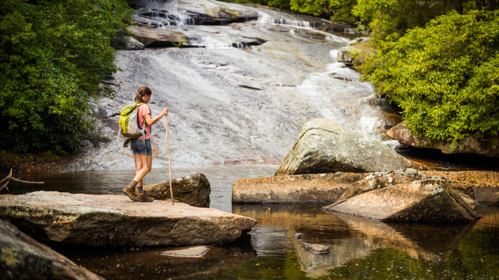
With 250 waterfalls, Brevard is proudly known as the Land of Waterfalls. Every drive, hike, and scenic overlook has the potential to reveal another breathtaking cascade. From iconic waterfalls like Looking Glass Falls, to hidden gems, the waterfalls near Brevard, NC invite every kind of explorer to discover something unforgettable.
Spread throughout Transylvania County, these waterfalls offer adventures for every pace, from easy roadside stops and family-friendly walks to rewarding hikes and refreshing swimming holes. Use our interactive map to plan your route, explore waterfalls across Gorges State Park, Pisgah National Forest, DuPont State Recreational Forest, and beyond, and experience one of the most memorable things to do in Brevard.
Let’s Go Chasing Waterfalls
Our interactive waterfall map helps you discover waterfalls throughout Transylvania County, from scenic drives along the Blue Ridge Parkway to breathtaking hiking destinations in our forests and Parks. Explore hidden gems, visit local favorites, and start planning your next waterfall adventure. Prefer a printed guide? Pick up a Waterfalls & Points of Interest Map at the Visitor Center during your visit.
Click on any waterfall or visitor center to learn more about each location.

Upper Whitewater Falls
0.5 miles round trip
The tallest waterfall east of the Mississippi River, Upper Whitewater Falls is a jaw-dropping cascade at 411 ft. tall.

Turtleback Falls & Rainbow Falls
3.5 miles round trip
When the sun sits just right in the sky, Rainbow Falls creates a lovely rainbow from the great mist caused by its cascade. Turtleback Falls is just 0.25 more miles up the trail.
Upper Bearwallow Falls
1 mile round trip
Visible from a designated overlook, the trail to Upper Bearwallow Falls requires a short trek to see a stunning waterfall.
Toxaway Falls
Hwy 64 passes right over the top of this staggering 150 ft waterfall, making it an easy and scenic stop.

French Broad, Mill Shoals, and Bird Rock Falls
0.6 miles round trip
Located on the property of the Living Waters Ministry, these three falls are just a short walk from the road.
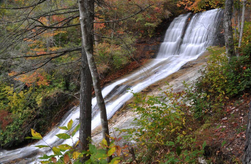
Daniel Ridge Falls
1 mile round trip
Whatever you call it, there’s no denying the sheer size of this waterfall, standing at a whopping 150 ft. tall.
Cove Creek Falls
2 miles round trip
Cove Creek Falls tumbles and slides in scenic fashion over several rocks and stands tall at an impressive 50 ft.

Slick Rock Falls
This 35 ft. cascade drops from an overhanging cliff, and is especially scenic after a heavy rain.
Log Hollow Falls
1 mile round trip
Small, yet scenic, the way that Log Hollow Falls sits tucked into the woods looks like something from a fairytale.
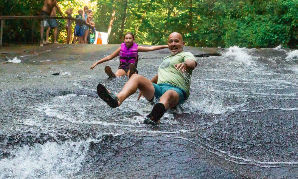
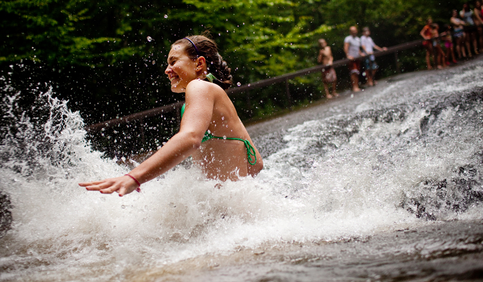
Sliding Rock
Sliding Rock is Pisgah’s natural water slide. Lifeguards are on duty from Memorial Day to Labor Day. There is a $5 per person fee.
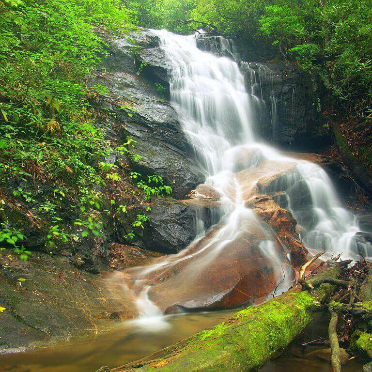
Moore Cove Falls
1.5 miles round trip
This unique waterfall is a 50 ft., uninterrupted cascade that flows in front of a unique rock overhang.
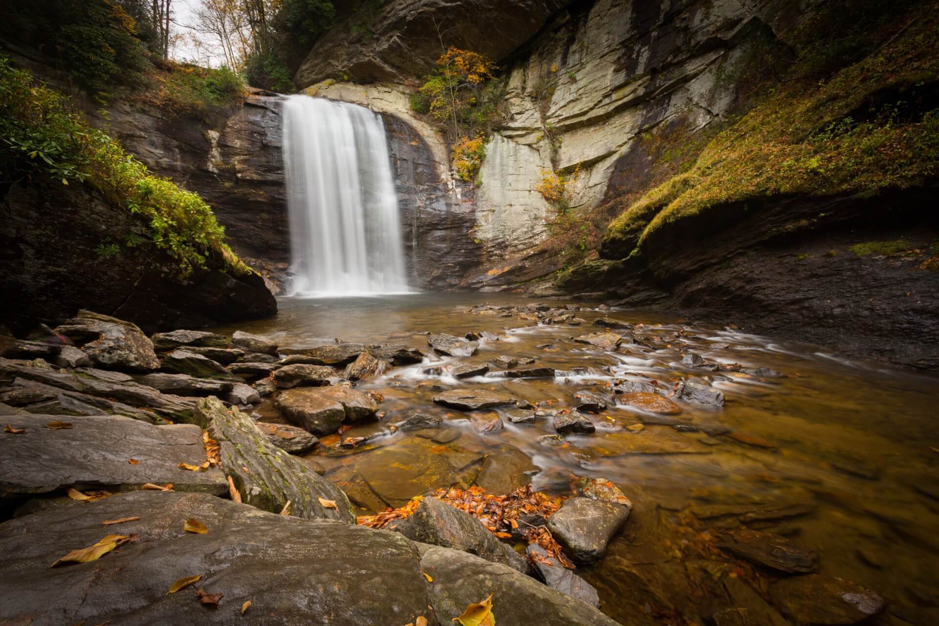
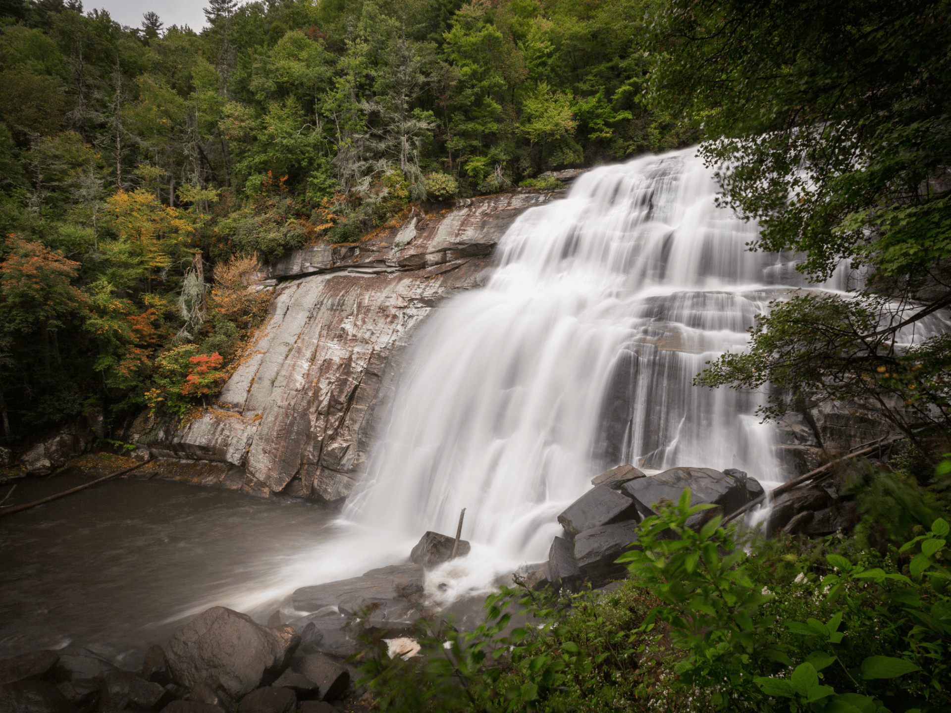
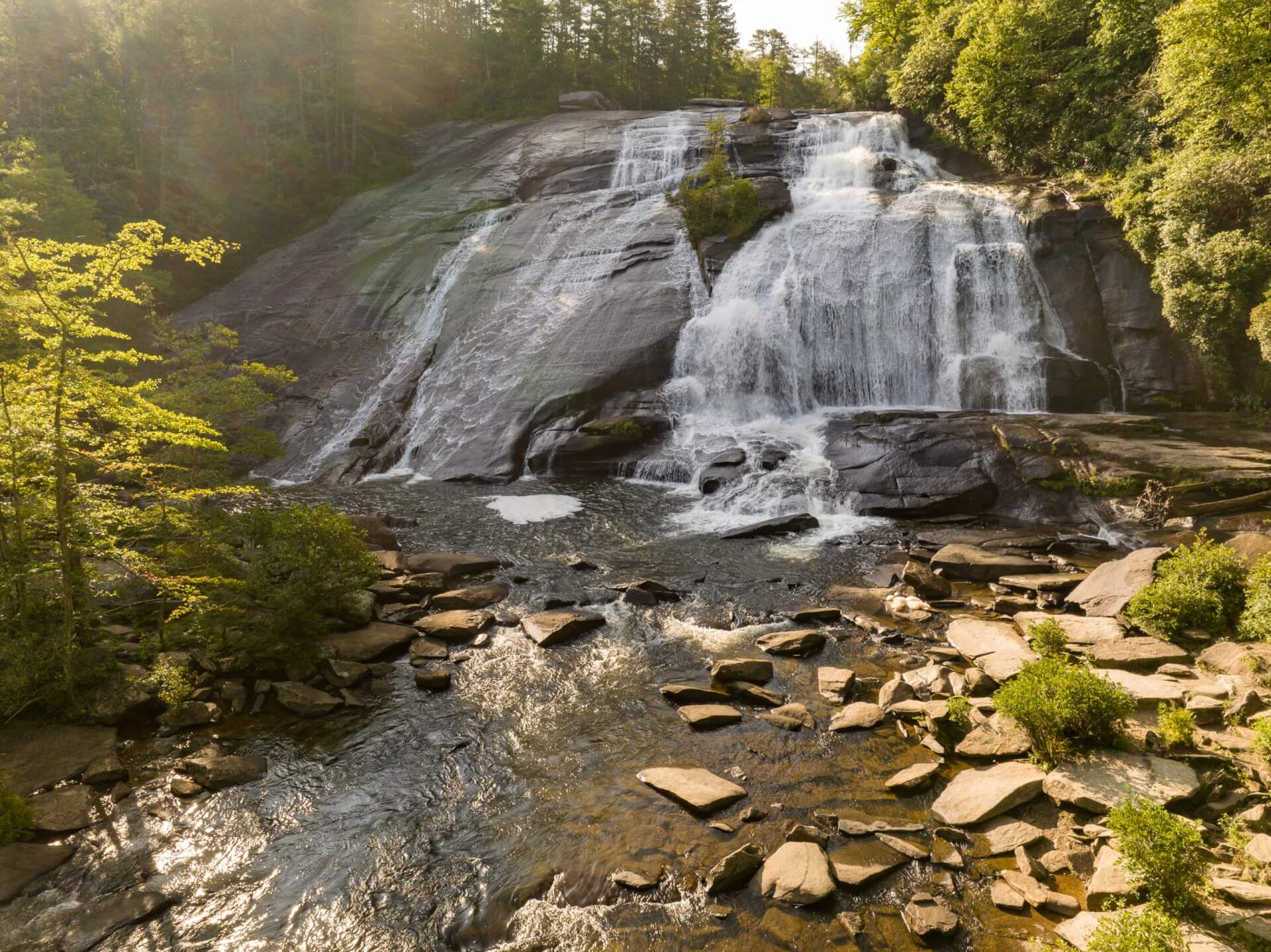
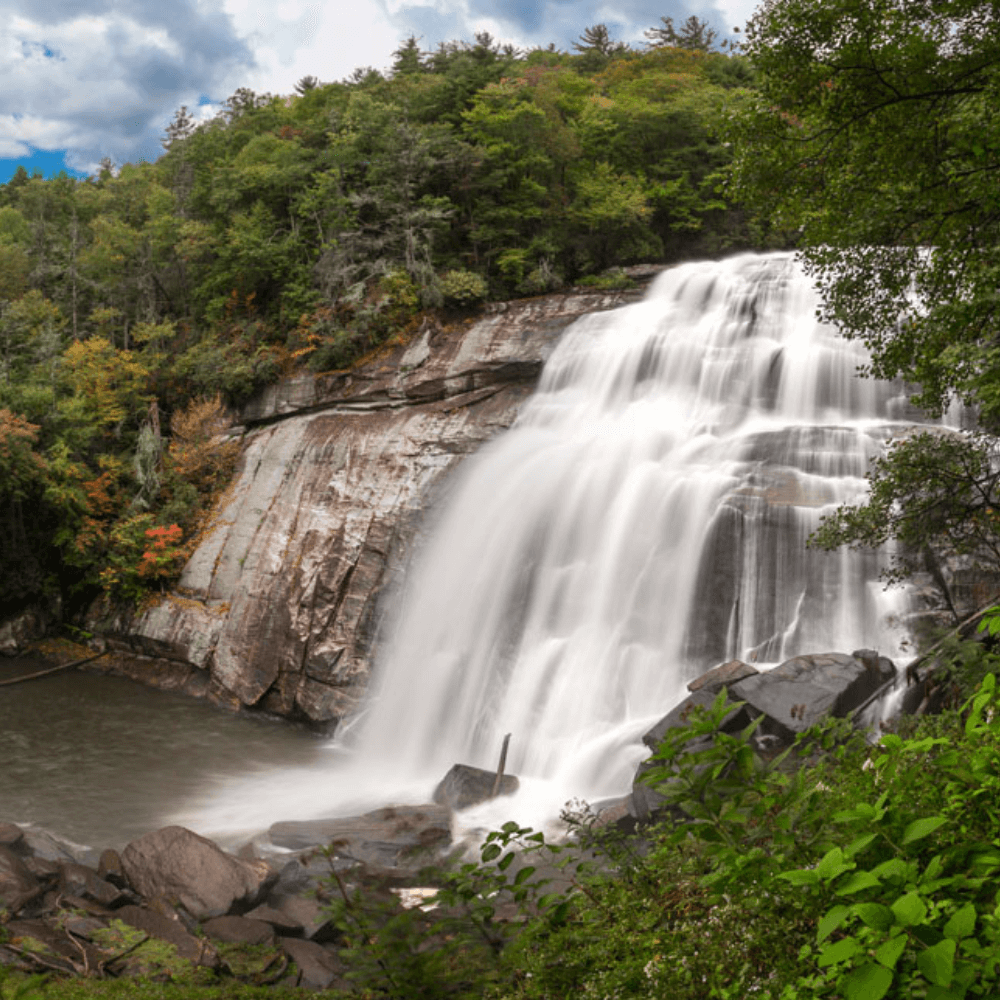
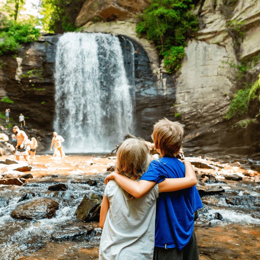
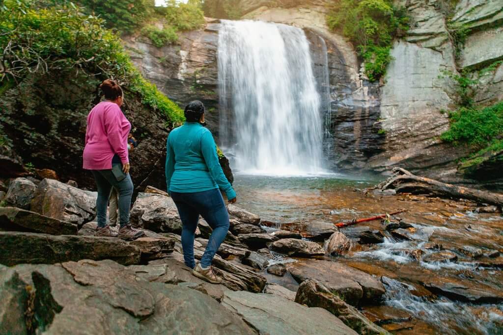
Looking Glass Falls
An icon of the Pisgah National Forest, Looking Glass Falls is a 60 ft. cascade that is visible from Hwy 276 in Pisgah National Forest.
Twin Falls
4.4 miles round trip
Get two waterfalls in one hike — this cascade is actually two beautiful falls that sit close together.
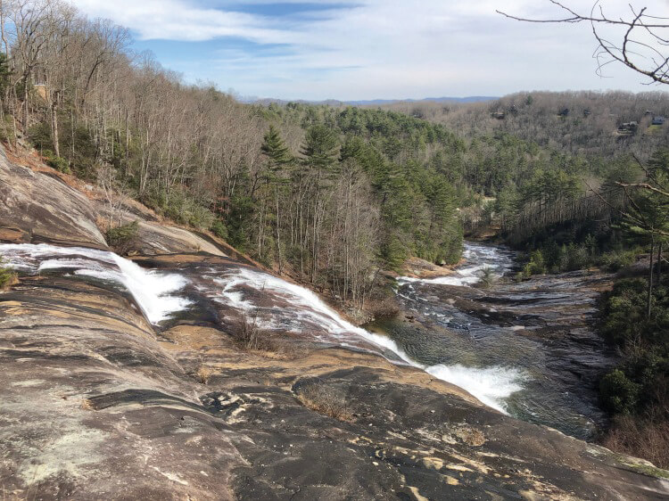
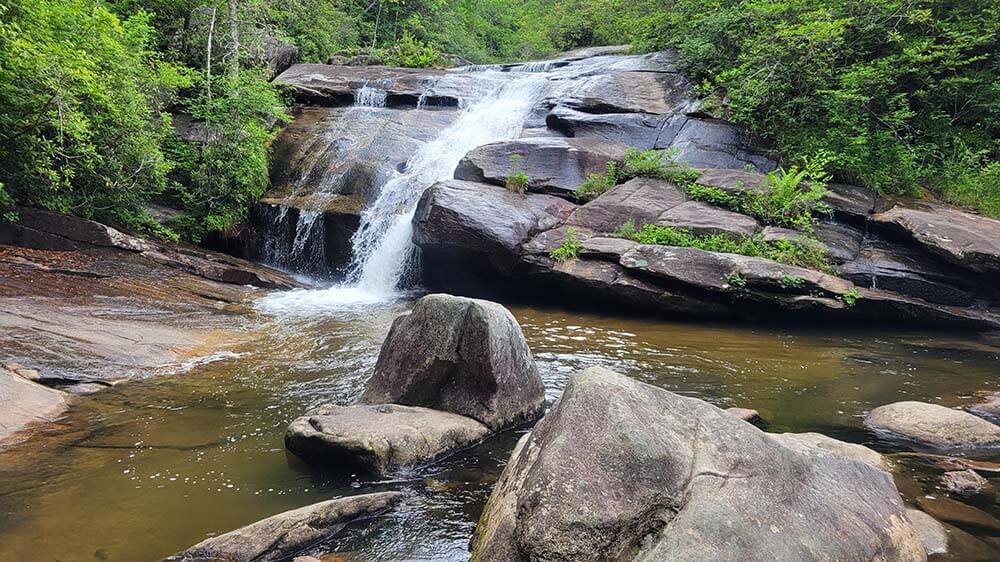
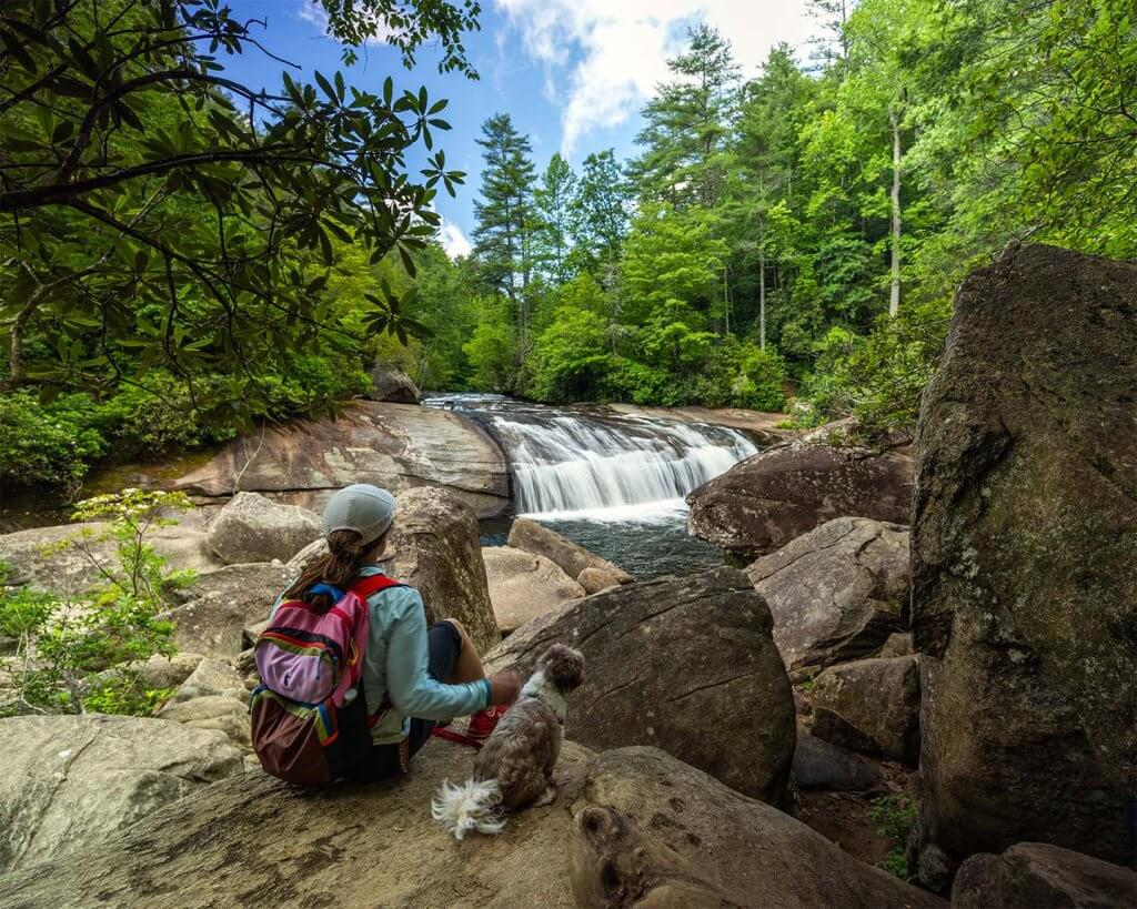
Hooker Falls
0.5 miles round-trip
This wide, 12-ft cascade drops into a scenic pool along Little River. It’s a popular spot for splashing around on hot summer days.
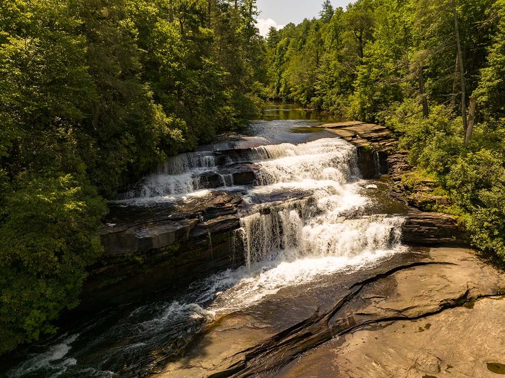
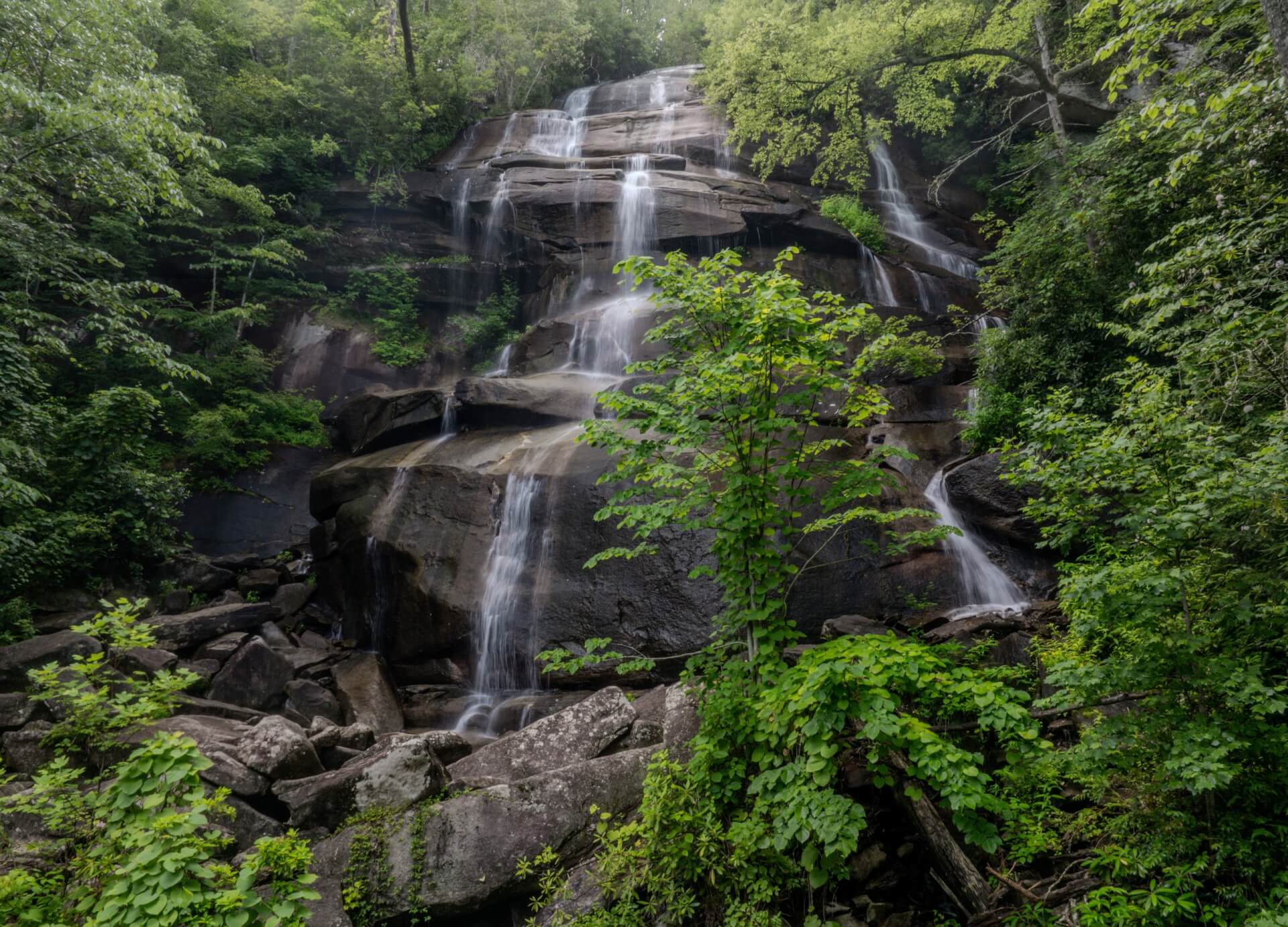
Triple Falls
1.2 miles round-trip
This jaw-dropping waterfall has not one, but three cascades (hence the name), resulting in a spectacular natural display.
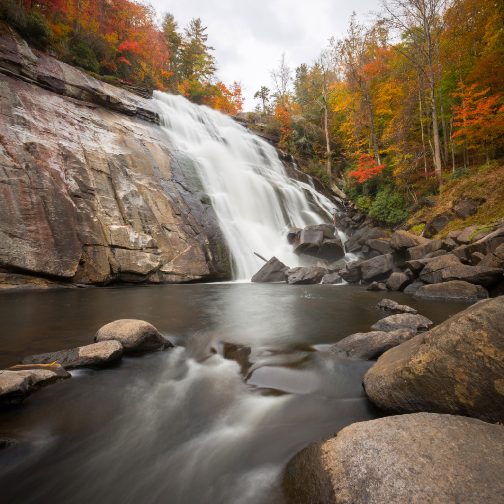
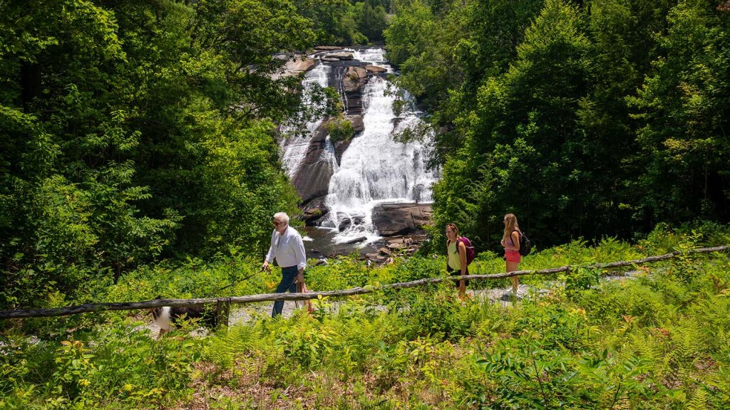
High Falls
1.6 miles round-trip
You’ll hear the incredible roar of High Falls before you see it. At 120 ft. tall, this is the largest waterfall in DuPont.

Bridal Veil Falls
4.5 miles round-trip
Featured in several popular movies, Bridal Veil Falls is the first cascade on the Little River, and it is a beautiful sight.
Wintergreen Falls
2.75 miles round-trip
Though it’s one of the smaller falls in DuPont, Wintergreen Falls is no less scenic than its towering neighbors. And, there are typically lesser crowds.
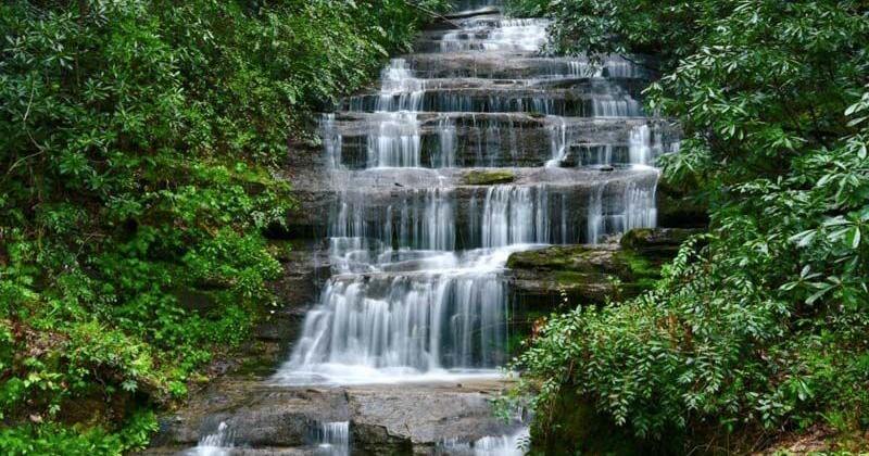
Connestee Falls & Batson Creek Falls
View these falls from a viewing deck at the entrance of Connestee Realty. Batson Creek and Connestee Falls are protected by a conservation easement.
Key Falls
Located on the property of Key Falls Estate, this scenic fall is a gorgeous sight to see after a short walk.
Pisgah National Forest Visitor Center
LOCATION
1600 Pisgah Highway
Pisgah Forest, NC 28768
PHONE
828-866-3437
HOURS
Open Tuesday-Saturday from 9:00 am – 4:30 pm
Closed for the holidays from December 24 – January 1
Please call to confirm hours.
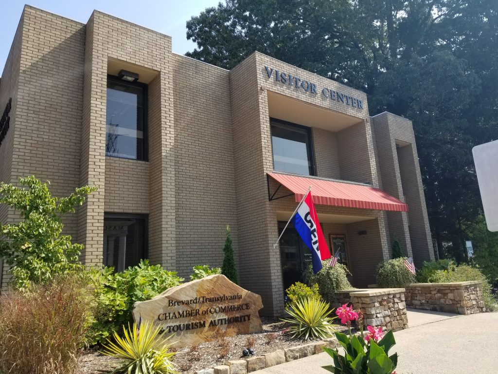
Brevard/Transylvania Visitor Center
LOCATION
175 E Main St.
Brevard, NC 28712
PHONE
800-648-4523
HOURS
Mon – Fri: 9am – 5pm
Sat: 10am – 3pm
Sun: 12pm-3pm (Memorial – Labor Day)
Please call to confirm hours.
Gorges State Park Visitor Center
LOCATION
976 Grassy Ridge Rd
Sapphire, NC 28774
PHONE
828-966-9099
HOURS
Open daily from 9am to 5pm
Please call to confirm hours.
DuPont State Forest Visitor Center
LOCATION
High Falls Access Area
89 Buck Forest Road
Cedar Mountain, NC 28718
PHONE
828-877-6527
HOURS
March 15 to December 31
Open 7 days a week from 9am to 5pm
January 1 to March 14
Open weekends from 9am to 5pm
Please call to confirm hours.

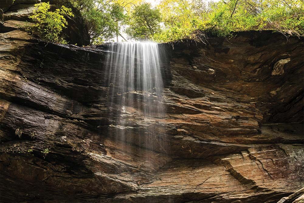
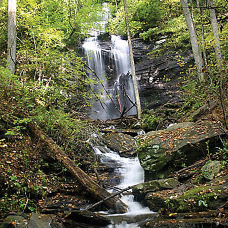
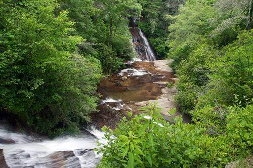
Schoolhouse Falls
Discover the Waterfalls of Transylvania County
Our directory of waterfalls offers descriptions and photos of each cascade, making it easier than ever to plan your visit. Whether you’re planning your trip with our Interactive Waterfall Map or browsing the directory, both paths lead to the same stunning destinations. Let the magic of the Land of Waterfalls inspire your next adventure.
Batson Creek Falls & Connestee Falls
Park & View. View these falls from a viewing deck at the entrance of Connestee Realty. Batson Creek and Connestee Falls are protected by a conservation easement.
View More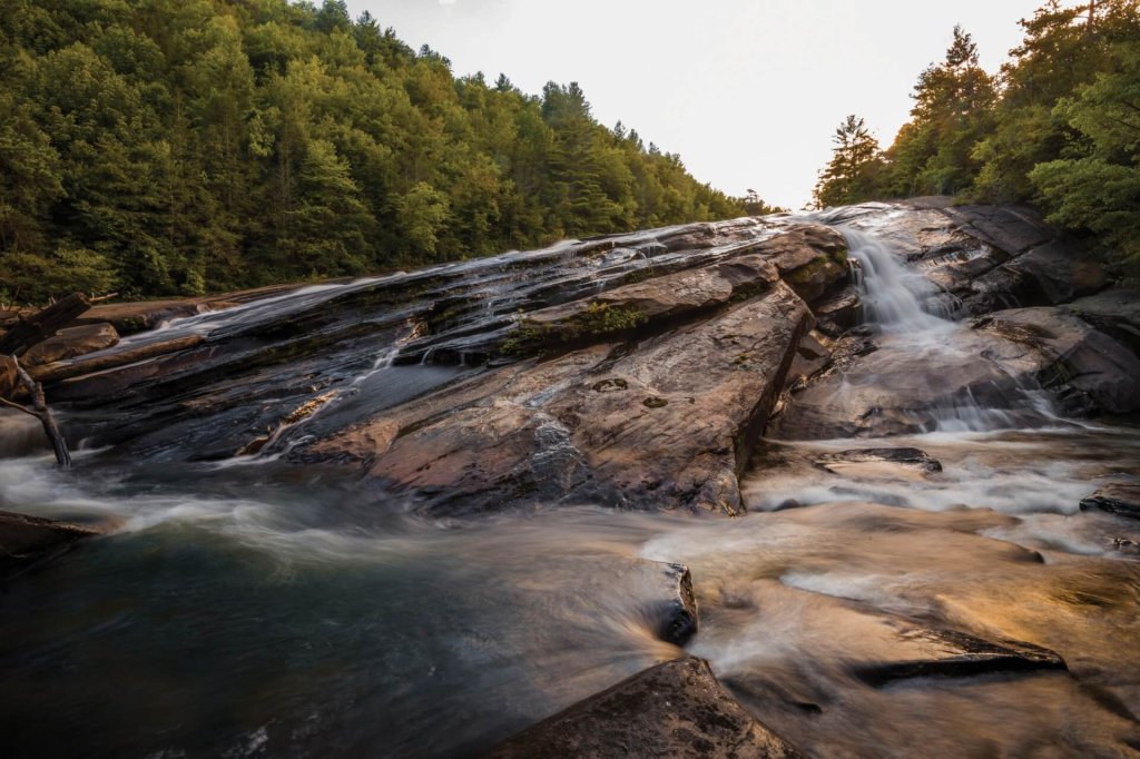
Bridal Veil Falls
Moderate Hike, 4.5 miles round-trip. Featured in several popular movies, Bridal Veil Falls is the first cascade on the Little River, and it is a beautiful sight.
View More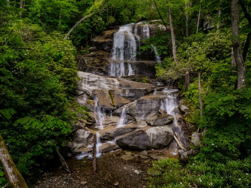
Cove Creek Falls
Moderate Hike, 2 miles round trip. Cove Creek Falls tumbles and slides in scenic fashion over several rocks and stands tall at an impressive 50 ft.
View More
Daniel Ridge Falls
Easy Hike, 1 mile round trip. Whatever you call it, there’s no denying the sheer size of this waterfall, standing at a whopping 150 ft. tall.
View More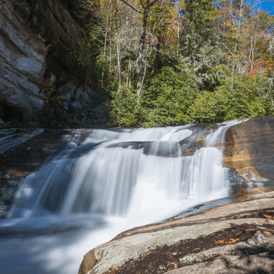
French Broad, Mill Shoals & Bird Rock Falls
Easy Hike, 0.6 miles round trip. Located on the property of the Living Waters Ministry, these three falls are just a short walk from the road.
View More
High Falls
Moderate Hike, 1.6 miles round-trip. You’ll hear the incredible roar of High Falls before you see it. At 120 ft. tall, this is the largest waterfall in DuPont.
View More
Hooker Falls
Easy Hike, 0.5 miles round-trip. This wide, 12-ft cascade drops into a scenic pool along Little River. It’s a popular spot for splashing around on hot summer days.
View More
Log Hollow Falls
Easy Hike, 1 mile round trip. Small, yet scenic, the way that Log Hollow Falls sits tucked into the woods looks like something from a fairytale.
View More
Looking Glass Falls
Park & View. An icon of the Pisgah National Forest, Looking Glass Falls is a 60 ft. cascade that is visible from Hwy 276 in Pisgah National Forest.
View More
Moore Cove Falls
Easy Hike, 1.5 miles round trip. This unique waterfall is a 50 ft., uninterrupted cascade that flows in front of a unique rock overhang.
View More
Schoolhouse Falls
Moderate Hike, 2.5 miles round trip. Schoolhouse Falls is a gem of Panthertown Valley, accessible via the Cold Mountain Gap Trailhead.
View More
Slick Rock Falls
Park & View. This 35 ft. cascade drops from an overhanging cliff, and is especially scenic after a heavy rain.
View More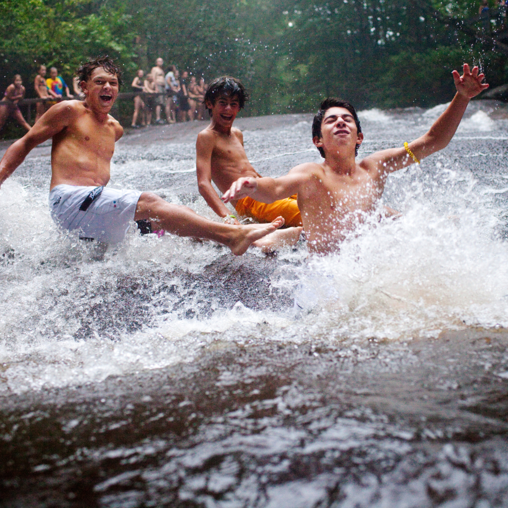
Sliding Rock
Park & View. Sliding Rock is Pisgah’s natural water slide. Lifeguards are on duty from Memorial Day to Labor Day. There is a $6 per person fee.
View More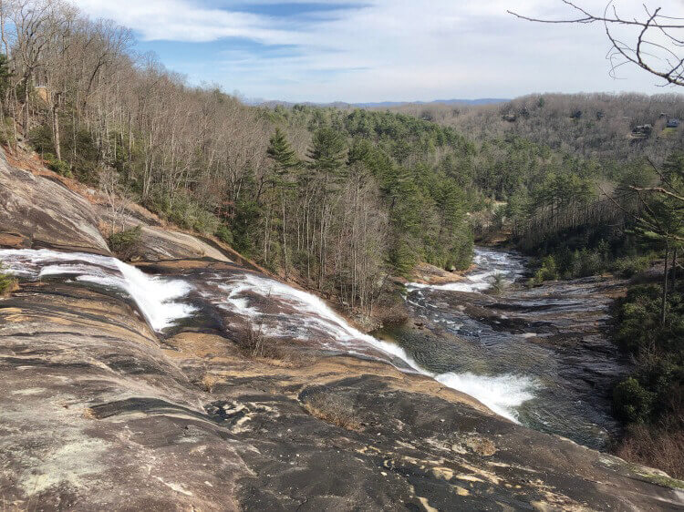
Toxaway Falls
Park & View. Hwy 64 passes right over the top of this staggering 150 ft waterfall, making it an easy and scenic stop.
View More
Triple Falls
Moderate Hike, 1.2 miles round-trip. This jaw-dropping waterfall has not one, but three cascades (hence the name), resulting in a spectacular natural display.
View More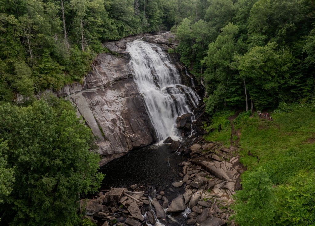
Turtleback Falls & Rainbow Falls
Strenuous Hike, 3.5 miles round trip. When the sun sits just right in the sky, Rainbow Falls creates a lovely rainbow from the great mist caused by its cascade. Turtleback Falls is just 0.25 more miles up the trail.
View More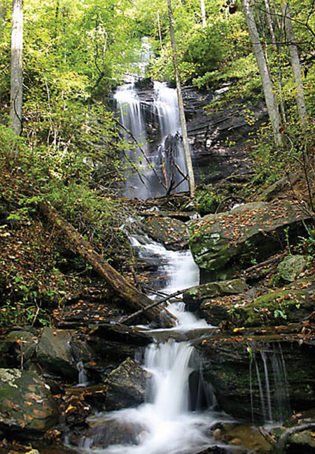
Twin Falls
Moderate Hike, 4.4 miles round trip. Get two waterfalls in one hike — this cascade is actually two beautiful falls that sit close together.
View More
Upper Bearwallow Falls
Moderate Hike, 1 mile round trip. Visible from a designated overlook, the trail to Upper Bearwallow Falls requires a short trek to see a stunning waterfall.
View More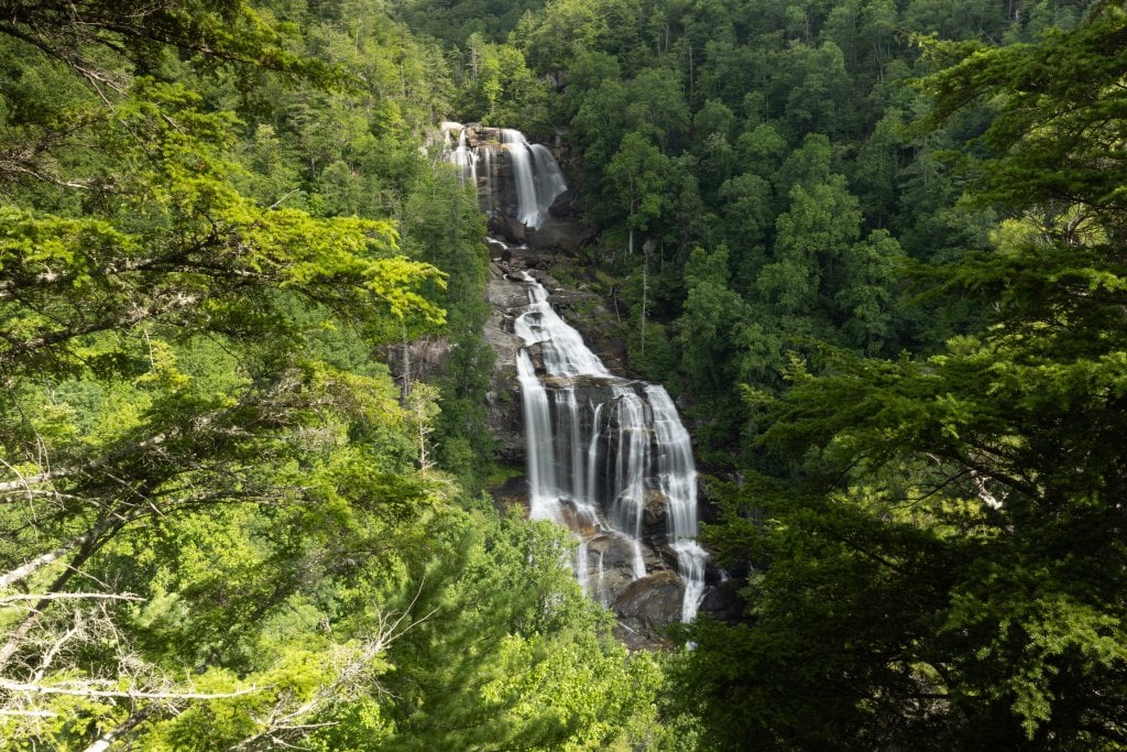
Upper Whitewater Falls
Easy Hike, 0.5 miles round trip. The tallest waterfall east of the Mississippi River, Upper Whitewater Falls is a jaw-dropping cascade at 411 ft. tall.
View More
Wintergreen Falls
Moderate Hike, 2.75 miles round-trip. Though it’s one of the smaller falls in DuPont, Wintergreen Falls is no less scenic than its towering neighbors. And, there are typically fewer crowds.
View MoreCan’t-Miss Waterfall Experiences

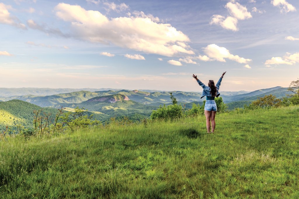
Your Land of Waterfalls Bucket List
See the tallest waterfall on the East Coast? Check. Go swimming at a waterfall featured in Last of the Mohicans? Check. (P.S. It’s Hooker Falls). Get a unique view of waterfalls on horseback or two wheels? Check. Complete this bucket list with some of our favorite spots to get the full Land of Waterfalls experience.
Slide Down Sliding Rock, a 60-Foot Natural Water Slide
A summer visit to Brevard isn’t complete without experiencing Sliding Rock in Pisgah National Forest. This iconic 60-foot natural waterslide sends you gliding over smooth rock into a refreshing mountain plunge pool, making it one of the most popular things to do in Brevard.
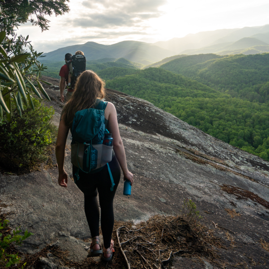
Go With a Guide
With 250 waterfalls to explore, it’s hard to pick just one. Our guides know the best spots to experience nature’s beauty. Let the experts lead the way to your next waterfall adventure!
BE Waterfall Wise
Exploring waterfalls without caution can have serious, and potentially fatal, consequences. We encourage visitors to Be Waterfall Wise while taking in the beauty of Transylvania County.
OBSERVE all posted signs leading to waterfall areas.
STAY on marked trails and observation areas.
DO NOT jump off of waterfalls or dive into pools.
DO NOT climb on rocks above waist height.
DO NOT swim or wade upstream near a waterfall.
WATCH for slick rocks around waterfalls.
WATCH your children and pets at all times.
Frequently Asked Questions About Waterfalls Near Brevard, NC
Why is Brevard called the Land of Waterfalls?
With 250 waterfalls, Transylvania County has one of the highest concentrations of waterfalls in the United States. From iconic roadside waterfalls to hidden backcountry cascades, it’s easy to see why Brevard proudly earned the nickname Land of Waterfalls.
How many waterfalls are in Transylvania County?
Transylvania County is home to 250 waterfalls spread across Pisgah National Forest, DuPont State Recreational Forest, Gorges State Park, and throughout Transylvania County. Whether you’re looking for an easy stop or an all-day hike, you’ll find waterfalls for every adventure style.
What are the easiest waterfalls to visit near Brevard?
If you’re looking for incredible views without a long hike, start with Looking Glass Falls, Connestee Falls, Toxaway Falls, Sliding Rock, Key Falls, and Slick Rock Falls. These park-and-view waterfalls make it easy to experience some of Brevard’s most beautiful scenery.
What are the best waterfalls for families in Brevard?
Families love Hooker Falls, Triple Falls, and Moore Cove Falls thanks to their relatively short hikes and rewarding views. The most iconic waterfall for kids is no surpirse, Sliding Rock. Kids love taking the plunge down the 60-foot natural water slide. As always, supervise children closely and stay on designated trails around waterfalls.
Can you swim at waterfalls near Brevard?
Yes! Popular swimming spots include Hooker Falls, Sliding Rock, and Courthouse Falls. Water conditions can change quickly, so always follow posted safety signs, wear appropriate footwear, and use caution around rocks and moving water.
When is the best time to visit Brevard’s waterfalls?
Waterfalls are spectacular in every season. Spring offers powerful flows, summer is ideal for swimming, fall combines waterfalls with vibrant foliage, and winter brings quieter trails and excellent visibility. During summer, visit midweek or early in the day for the best experience.
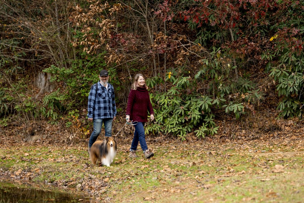
Are dogs allowed at Brevard waterfalls?
Dogs are welcome on trails in Pisgah National Forest, DuPont State Recreational Forest, and Gorges State Park as long as they’re kept on a leash. Be sure to pack out pet waste and check local regulations before your visit.
Is there an interactive waterfall map?
Yes! Use the interactive waterfall map on this page to find waterfalls throughout Transylvania County, plan your route, and discover nearby hiking trails, scenic drives, and points of interest. Prefer a printed guide? Pick up a free Waterfalls & Points of Interest Map at the Visitor Center.
Get Inspired
Dive into our blogs for inspiring stories, helpful tips, and ideas to enhance your visit.
Explore Responsibly in Brevard
Insider Guide to Gorges State Park
Cedar Mountain Cool

Kid Friendly Activities in Brevard

Mountain Love Song

Relax, Unwind, & Be Well
Brevard’s Best Waterfalls
Waterfall Safety Tips

Winter Weather Checklist
Waterfalls Worth the Hike

Serious Adventures for Outdoor Enthusiasts

Wildflower Walks Near Brevard, NC
Brevard’s Guide to Outdoor Outfitters & Gear Shops

Free Activities in Brevard, NC
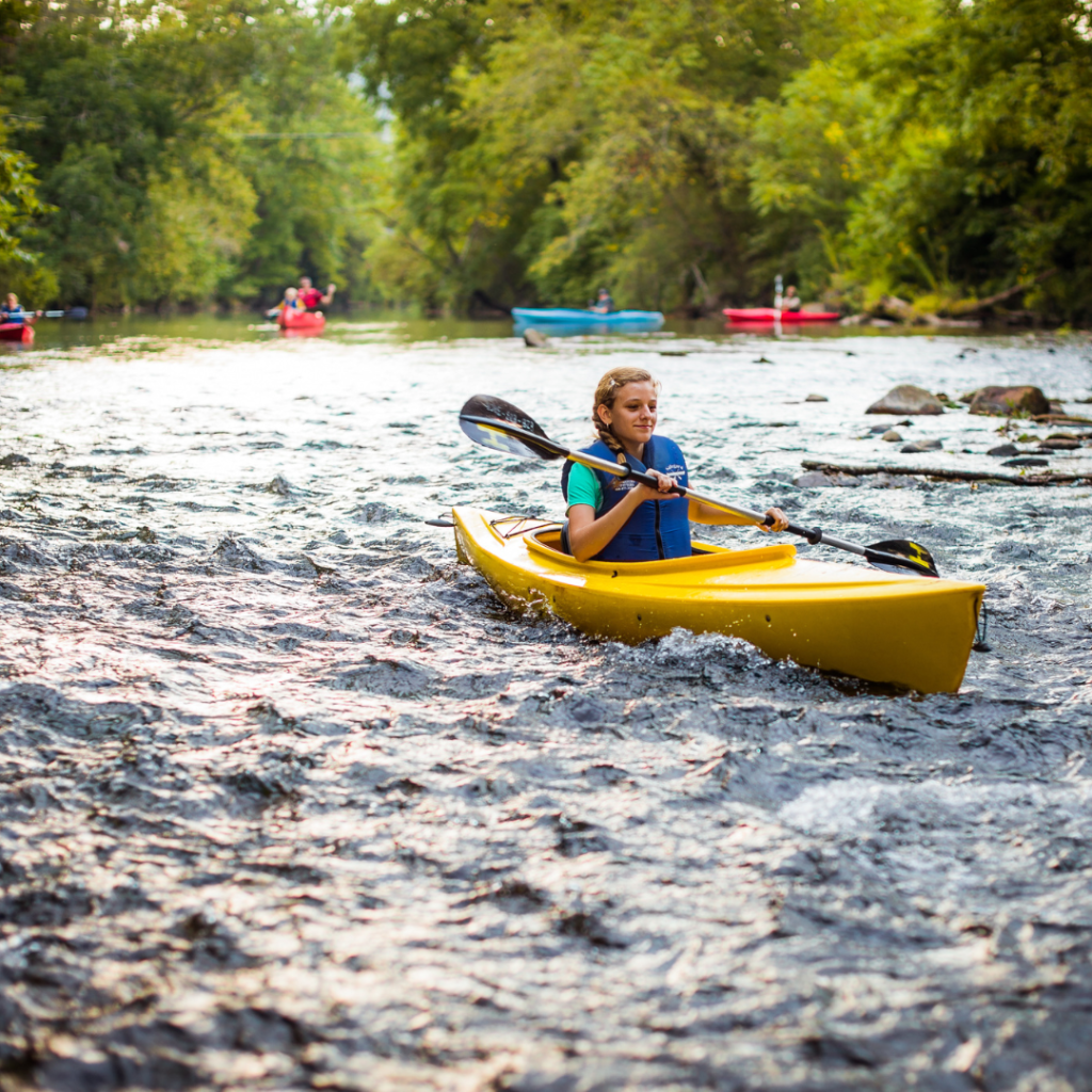
Scenic Paddling in Brevard

Meet The Trailblazers
Winter Outdoor Activities in Brevard, NC: Hiking, Ice Climbing & Stargazing

A Weekend of Fall Hikes & Waterfalls Near Brevard
Brevard Is Proud to Be an Outdoor NC Trail Town
A Weekend Itinerary for the Perfect Solo Mountain Escape
Land of Waterfalls Bucket List

Prepare Yourself for Adventure
3 Days of Waterfall Chasing in the Land of Waterfalls
Waterfall Swimming Holes in the NC Mountains
Be Prepared
Dive into our resources for safe and mindful exploration of our beloved mountain oasis.