Rocking and Rolling: All About Gravel Biking in Transylvania County
Brevard & Transylvania County is justifiably renowned for its mountain biking and road cycling. But there’s a lesser known – yet equally superb – cycling activity that’s gaining popularity. Best of all, there’s no better place on the planet to try it than right here.
The sport is gravel biking. You’ve got questions. We’ve got answers!

What is gravel biking?
Think of gravel biking as a hybrid between mountain biking and road cycling. In most cases, gravel biking takes place on an unpaved road with bikes that are similar to road bikes, but with wider and/or treaded tires.

Why ride gravel?
In a word: fun. Gravel bikes enable you to explore deep in the woods while riding on non-technical surfaces. So, in many respects, you get the benefits of mountain biking without the technical challenges of maneuvering around large rocks and roots.

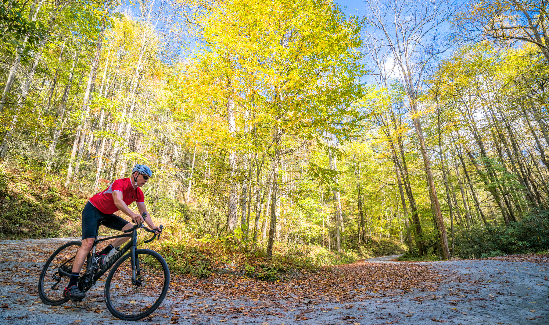
Why is Transylvania County such a great place to gravel bike?
Thanks to Pisgah National Forest and DuPont State Recreational Forest, there are literally hundreds of miles of well-maintained gravel roads, often referred to as “Forest Service” or “FS” roads. The opportunities for deep exploration into pristine corners of our county are multiplied many times over when your mode of transportation is a gravel bike.

What kind of bike do I need?
Thanks to the growing popularity of gravel biking, manufacturers offer a wide range of gravel-specific bikes featuring wider tires and a more relaxed geometry. Some road bikes can be up-fitted with wider and/or treaded tires to turn them into “gravel grinders.” You can also repurpose your mountain bike for gravel grinding with no modifications. Hardtail mountain bikes make for a great gravel riding option.

I’m intrigued. How do I find the gravel trails in Transylvania County?
Grab a map. Pisgah Map Company offers superb trail maps that show the various FS Roads in Pisgah and DuPont. If you’re looking to go electronic, Avenza Maps Mobile Apps offer Forest Service Maps. Other options include AllTrails and Trailforks.

What’s a good introductory gravel ride in Transylvania County?
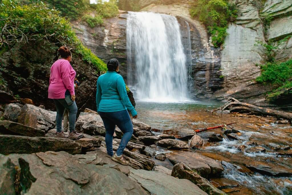
To get the feel of gravel riding, we recommend a short ride in DuPont. For example, start from the DuPont Visitor Center Parking Lot at 89 Buck Forest Road. Ride Buck Forest Road and cross the covered bridge over the Little River. Take a right on Conservation Road and then take a right on Bridal Veil Falls Road, where you’ll turn around, but not before drinking in the beauty of Bridal Veil Falls. Round trip, it’s only 4.5 miles, but it’s a great way to get a feel for gravel riding. You can easily extend your explorations on several of DuPont’s gravel roads.

Okay, I’m ready for something a little more challenging. What have you got for me?
We call this the Looking Glass Loop. Leaving the Pisgah Ranger Station, ride a short distance north on US276 before turning right onto FS477, also known as Avery Creek Road. Thankfully, the gravel surface from here to the Pisgah Horse Stables is relatively flat, giving you a chance to put in a nice warm-up before the road tilts up. And tilt up it does.
Over the next three miles, a total of 25-some-odd switchbacks carry you up over 1,136 feet with an average gradient of 7.2%. Thankfully, what goes up must come down. The next 2.5 miles is a downhill hootenanny that spits you out onto the pavement of US276, just below the Cradle of Forestry where you’ll enjoy another fun descent on the pavement until you intersect with FS475b on your right.
A series of short climbs and descents (not to mention two stunning views of Looking Glass Rock along the way: look left) leads to a final long descent that puts you out just above the Pisgah Fish Hatchery and the Pisgah Center for Wildlife Education. From here, it’s an easy pedal on pavement back to where you began. All told, you’ll cover some 20 miles and almost 2,000 feet of climbing.
How can I get additional information about gravel cycling in Transylvania County?
Transylvania Tips: Mid-week is sweet: fewer people and great hotel deals make visiting Transylvania County during the week a great option.