Wheely Fun Cycling in Brevard, NC
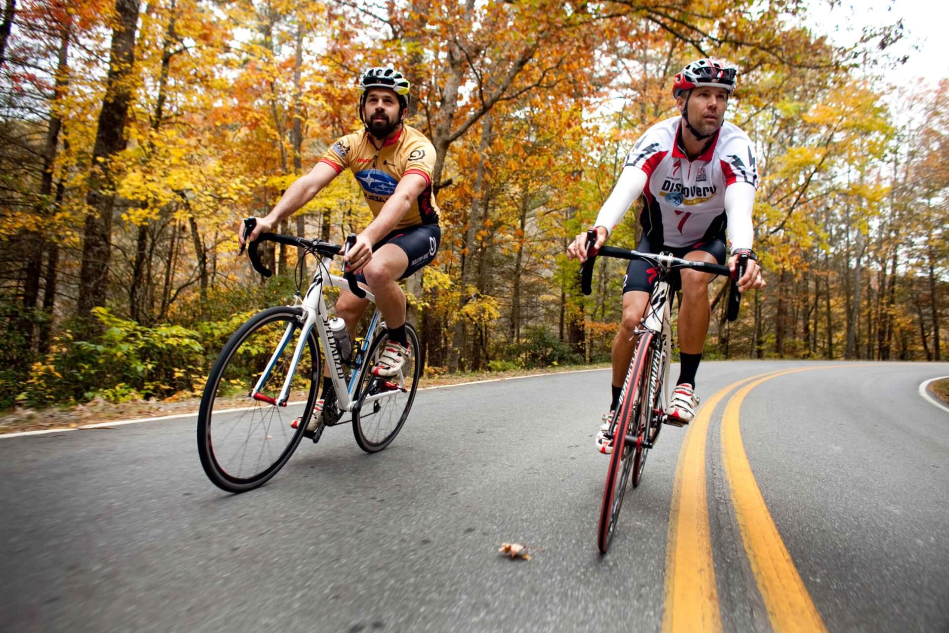
Transylvania County has earned a worldwide — and well-deserved — reputation for its spectacular mountain biking. Yet the road cycling opportunities here are just as rich, varied, and rewarding, whether you’re a beginner to the sport, a dedicated club rider, or a training professional. Here are three routes (easy, intermediate, and challenging) that provide an excellent introduction to two-wheeled travel in Transylvania County.


1
Easy
Name: Walnut Hollow & East Fork River Valley
Distance: 26 miles
Elevation Gain: 1,542 feet
Type: Paved Road
Start: Downtown Brevard, Visitors Center
Description: Are you short on time but want to get in a good workout? This popular route fits the bill. Leaving downtown Brevard, enjoy a pleasant six-mile warm-up before encountering the legendary climb up Walnut Hollow. But take heart: from the top of this one-mile climb (average 7.6% gradient), it’s an invigorating descent down to the East Fork of the French Broad River and a scenic valley ride to Rosman and back to Brevard.
2
Intermediate
Name: Headwaters Loop
Level: Easy-Intermediate
Distance: 20.4 miles
Elevation Gain: 1,815 feet
Type: Road
Start: Champion Park, Rosman
Description: While short, this route in the western part of Transylvania County possesses all the qualities that make the “Land of Waterfalls” such a special place to tour. You’ll find convenient parking at Champion Park in Rosman, where this ride begins. Along the way, you’ll pass the headwaters of the French Broad River (3rd oldest in the world), the world-famous Pisgah Astronomical Research Institute (PARI) and ride for a nice long stretch on Silversteen Road, an undulating stretch of tarmac that is an absolute blast to ride.
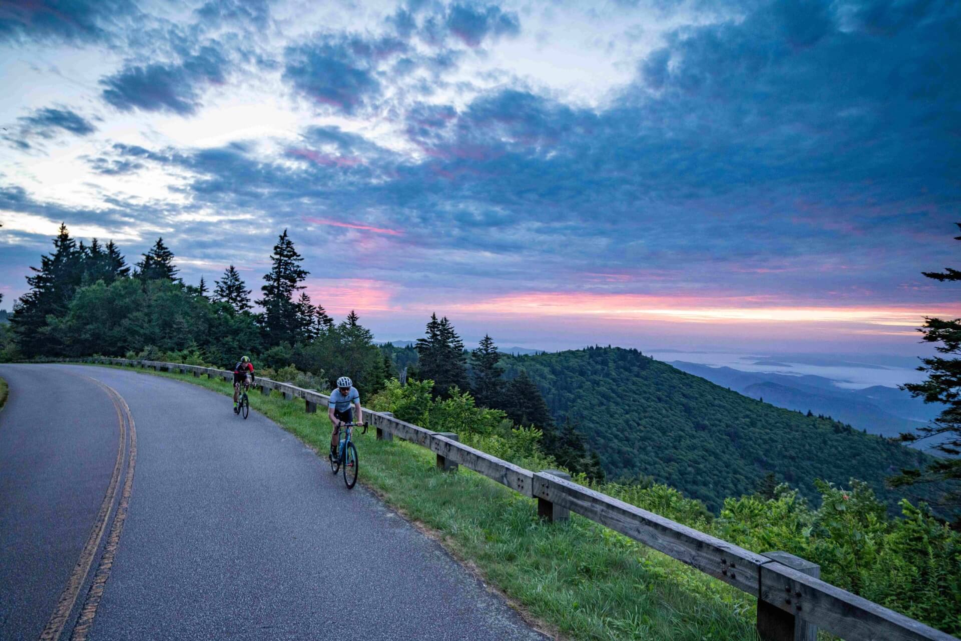
3
Challenging
Name: Tour de Transylvania
Distance: 61.7 miles
Elevation Gain: 5,372 feet
Type: Road
Start: Entrance to Pisgah Forest
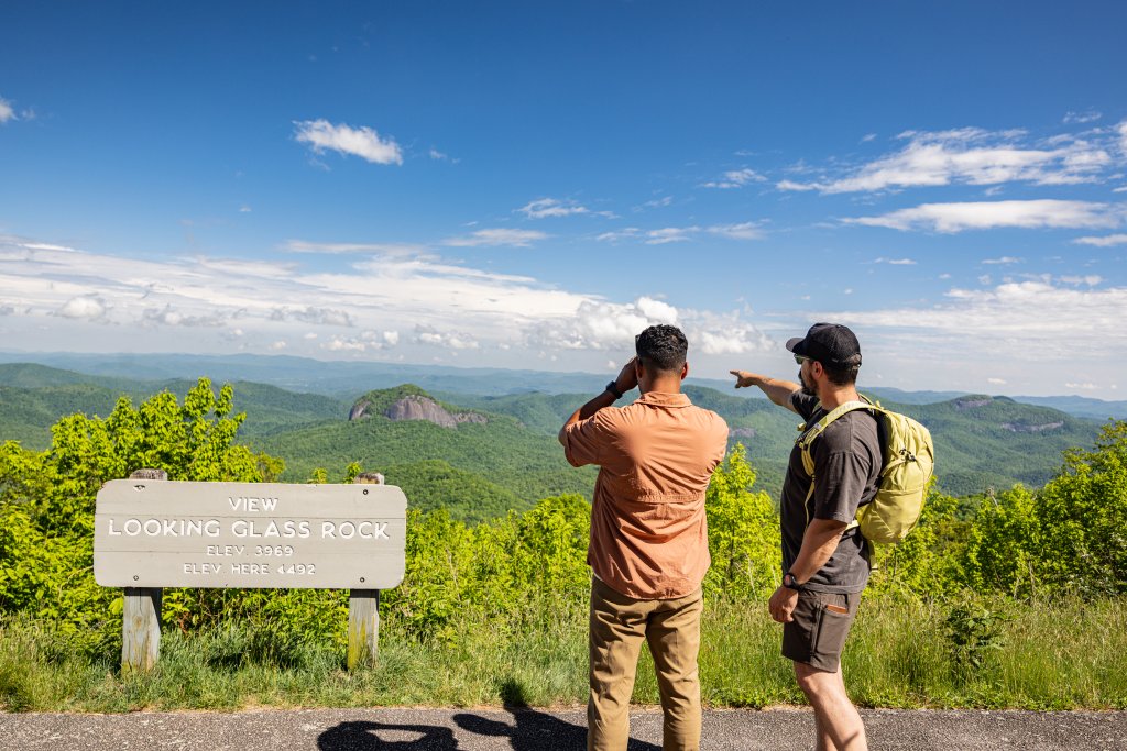
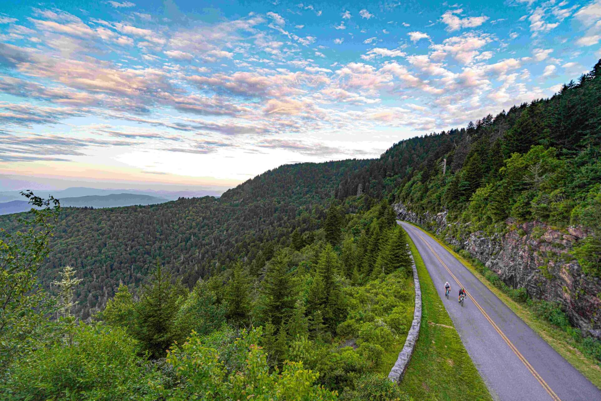
Description: A case could be made that this is one of the best metric century routes in the country. On this excursion you’ll pass one of the nation’s most beautiful and iconic cascades: Looking Glass Falls. You’ll pedal one of the most breathtaking sections of America’s most beloved byways: the Blue Ridge Parkway. You’ll tackle two classic climbs that top out at over 5, 600 feet above sea level. You’ll test your bike-handling skills on an epic descent that would not be out of place in either the Tour de France or the Giro d’Italia. And you’ll ride through some of the most picturesque forests our forefathers had the good sense to preserve for future generations. Yep, this one is hard to beat.
Discover More Cycling Routes
From scenic climbs to thrilling descents, plus tips and local resources, find everything you need for your next ride.