Road Trips in Transylvania County
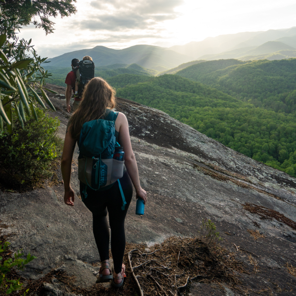
No matter the season, these two scenic driving routes offer an unforgettable glimpse of Transylvania County’s beauty. While it’s tempting to speed through, the true magic of these drives is best experienced at a slower pace—take your time, enjoy the sights, and make stops along the way. In spring, enjoy the vibrant blooms and fresh greenery; summer brings lush landscapes and refreshing waterfall views; fall dazzles with colorful foliage; and winter offers peaceful, serene mountain vistas. Each season highlights a unique charm, making these routes perfect year-round adventures.

Transylvania County Loop
3 – 7 hours, depending on stops
For the ultimate Transylvania County experience, this scenic route is your perfect adventure. Start your journey in Downtown Brevard with a cup of coffee and a sweet treat from Bracken Mountain Bakery or Cup & Saucer before setting out for the day. Then, head into Pisgah National Forest, where you’ll find endless opportunities to explore—from the stunning Looking Glass Falls to the exhilarating Sliding Rock and the historic Cradle of Forestry. Top out on the Blue Ridge Parkway and follow it south. Numerous overlooks offer up stunning views of the Blue Ridge mountains and Looking Glass Rock, the tallest granite monolith east of the Mississippi.
At Devil’s Courthouse, stretch your legs on a trail that summits on a granite aerie that makes you feel like you’re standing on the very edge of the world. Come off the BRP at US-215 for a winding trip back down into the valley. This stretch also offers abundant opportunities to discover why Transylvania County is known as the Land of Waterfalls, including Courthouse, Bird Rock, Mill Shoals and French Broad Falls. You can find these waterfalls on our interactive waterfall map. Head east on US-64 and you’ll be back in town just in time for dining in one of Brevard’s notable restaurants.
You can do this drive in about 4-5 hours. But why rush? It’s very easy to make a full day of it and see many of the natural wonders that make Transylvania County the heart of adventure.
Directions: From Downtown Brevard, go south on US-64 for 3.4 miles. Turn left on US-276 and go north for 15 miles. Turn left onto the Blue Ridge Parkway and go 11 miles. Turn left onto US-215 and go 17.3 miles. Turn left on US-64 and go 8.6 miles to Downtown Brevard.
Caesars Head Classic
4-8 hours, depending on stops
This route roughly follows the course of the famous Assault on the Carolinas, a 100 kilometer cycling event held every April. It’s also an auto or motorcycle enthusiast’s dream, full of silky switchbacks, snaky esses, and curves. You can drive or ride this route in either direction, but we recommend you go counterclockwise. Highlights include cresting the Eastern Continental Divide, a spectacular descent of US-178 into South Carolina, a straight but hilly stretch on the Cherokee Foothills Parkway, then a memorable climb up Caesars Head on US-276. The finishing touch is a swooping, multi-curve descent into Brevard. But don’t spend all your time on the road. There are numerous opportunities for discovery, including Caesars Head State Park and Table Rock State Park. If you happen to have an interest in geology, pay close attention when you roll through Rosman. You’ll cross over a bridge where the North and West forks converge to create the headwaters of the French Broad River, the third oldest river in the world.
Directions: From Downtown Brevard, go west on US-64 for 8.4 miles. Turn left onto US-178 and go 11 miles. Turn left on SC-11 and go 8.5 miles. Turn left on SC-8/11 (Pumpkintown Highway) and go 1.8 miles. Turn left on US-276 and go 13.5 miles back to Brevard.


